Our Mission


The mission of the Monument SWCD is to "take available technical, financial and educational resources and focus or coordinate them so that they meet the needs of the local land user for conservation of soil, water and related resources."

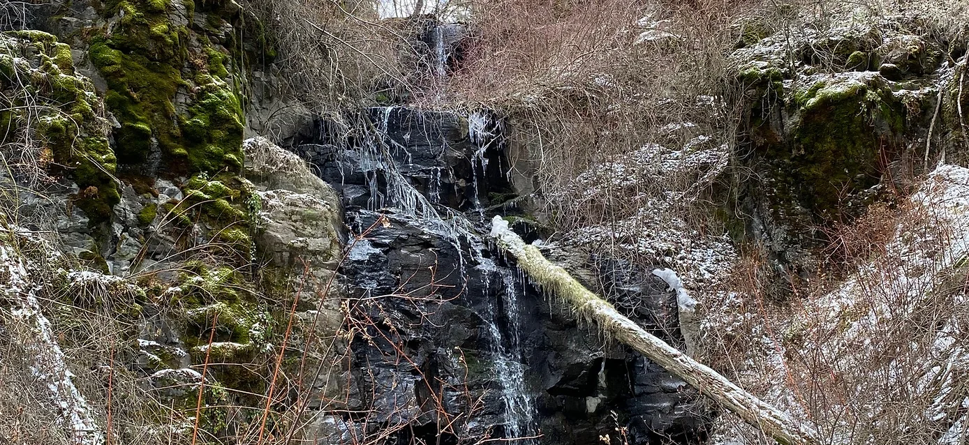
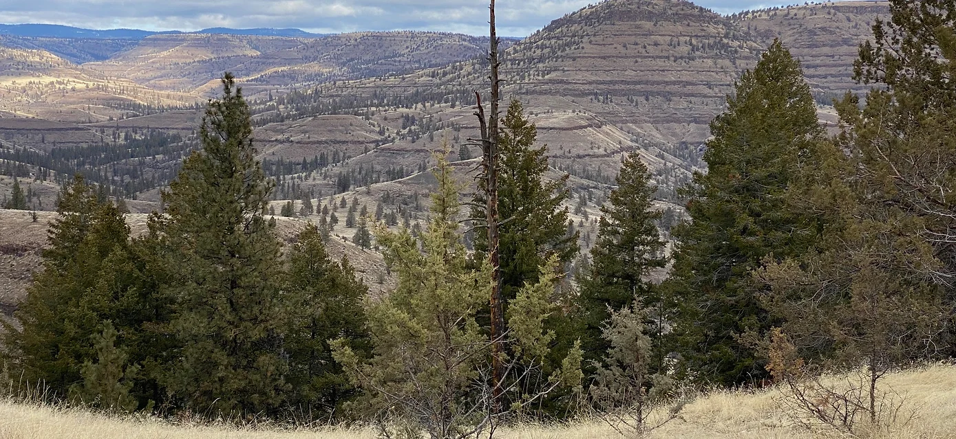
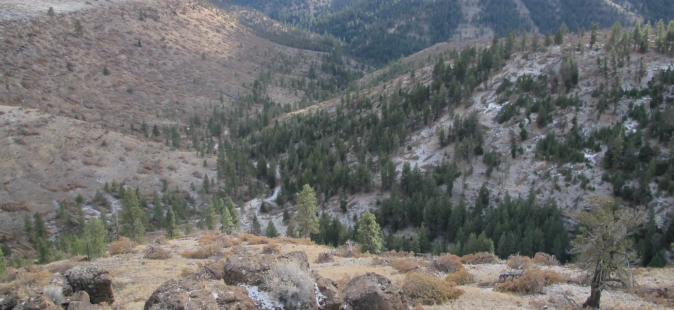
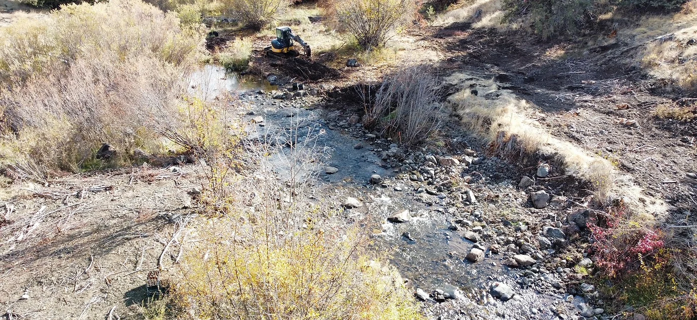
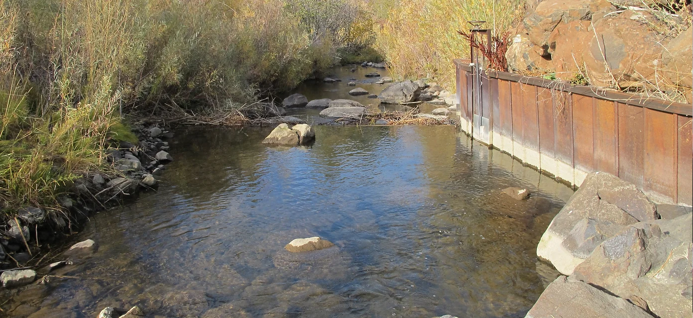
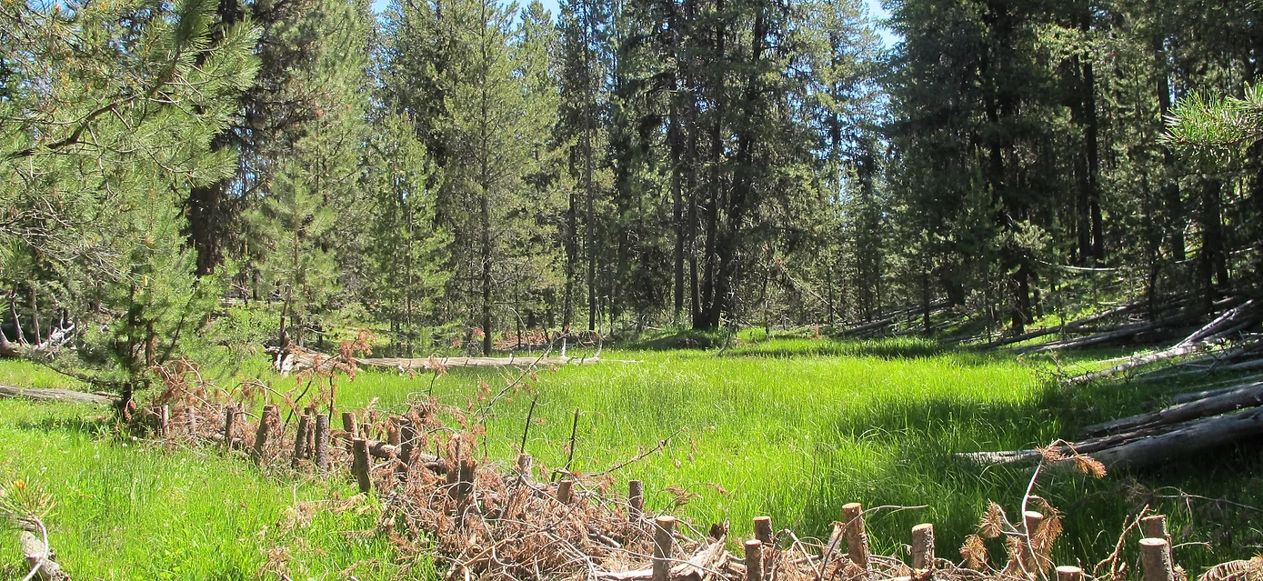
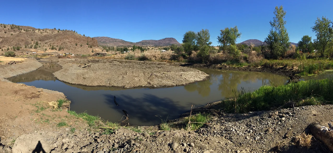
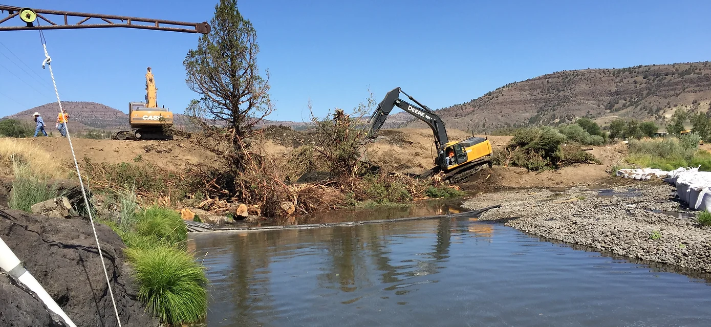
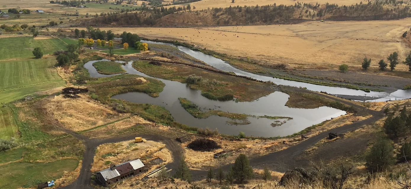
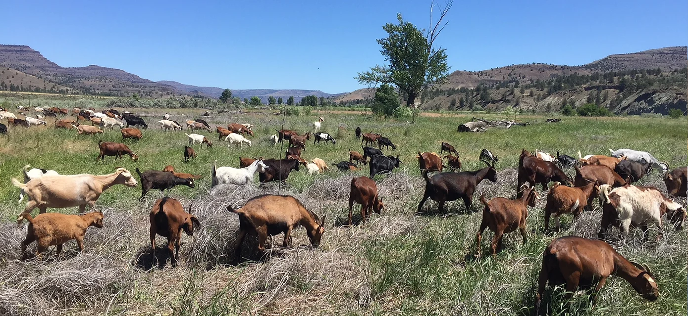
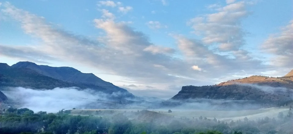
The Monument Soil and Water Conservation District is a grant funded non-taxing special district operating in northwestern Grant County. We work with landowners to provide technical and financial assistance for conservation projects and partner with local, state and federal conservation organizations to conserve and protect soil & water resources. Situated on the banks of the North Fork John Day River, the local area supports a rural economy based in ranching, forestry, hunting and fishing tourism. The John Day River system is the longest un-damned river in the western United States.